
The group chat pings just as you’re putting the kettle on.
Someone’s forwarded a chart streaked in purple and blue with a caption that reads: “Polar vortex COLLAPSE – Beast from the East 2.0 incoming??”
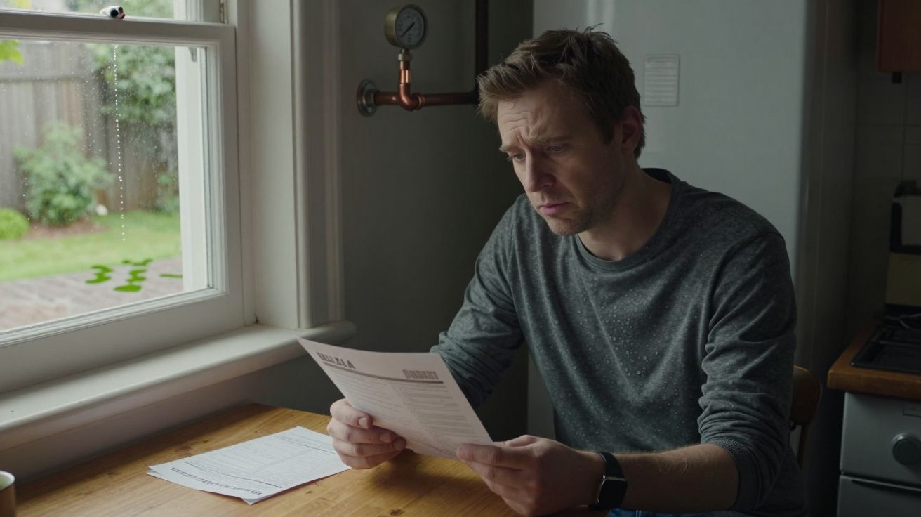
You open the video. A confident voice talks about “stratospheric warming”, “vortex disruption” and a “lock‑on for February snow”. Outside the window, the rain looks stubbornly ordinary. Inside, you’re half intrigued, half wary. Is this actually about to turn your commute into a sled run, or is it just another dramatic weather headline that quietly fizzles out?
Over the next few days, the language seeps into forecasts and timelines.
“Sudden stratospheric warming.” “Rare high‑altitude event.” “Increased risk of cold.” It sounds important. It also sounds suspiciously like the kind of thing nobody fully explains before cutting to the seven‑day outlook.
Let’s pull this out of the hype cycle for a minute and look at what’s really going on above our heads – and what it might (and might not) mean for UK snow in February.
What a sudden stratospheric warming actually is
Imagine the atmosphere as a multi‑storey building. We live our weather lives on the ground floor, in the troposphere – where clouds, rain, wind and day‑to‑day forecasts happen. A good 10–50 kilometres above that sits the stratosphere, quieter, thinner, but home to a major winter player: the polar vortex.
Most winters, a tight ring of strong westerly winds spins around the Arctic in the stratosphere, keeping the really cold air penned in over the pole. Then, every so often, something dramatic happens. Waves of energy from below – pushed up by mountains, land–sea contrasts and meandering jet streams – crash into that vortex and destabilise it.
In a sudden stratospheric warming (SSW), those upper winds slow sharply or even reverse, and temperatures in the stratosphere over the pole can rocket by 30–50°C in a few days. It’s “warming” by high‑altitude standards – we’re still talking well below zero – but in dynamic terms it’s like slamming the brakes on a spinning top.
From a meteorologist’s point of view, that’s a big red flag: the usual winter set‑up has just been yanked off script.
How an event up there can bring snow down here
The bit that really matters at street level isn’t the spike in temperature itself. It’s what happens next.
When the vortex is disrupted, its tidy, circular fence of wind becomes wobbly or breaks into pieces. Over the following one to three weeks, that disruption can “drip down” through the layers of the atmosphere, changing pressure patterns closer to the surface.
In our part of the world, that often shows up as:
- Higher than normal pressure over Greenland or Scandinavia (so‑called “blocking” highs)
- A weaker, more southerly jet stream
- Colder air able to spill out of the Arctic into Europe
That pattern combo is a classic recipe for UK cold spells: easterly winds from continental Europe, or northerly flows dragging air down from the Arctic. 2018’s “Beast from the East” followed a particularly strong SSW. So did some of the prolonged cold in 2009–10.
But here’s the hinge: a SSW can load the dice towards that kind of set‑up. It does not shuffle the cards into a guaranteed snowstorm for your postcode.
Sometimes the stratospheric disruption couples efficiently with the troposphere and we see a clear shift to blocked, colder patterns. Sometimes the signal is weaker, delayed or steered in a way that leaves the UK on the edge, with Europe to our east taking the brunt. And occasionally, the surface atmosphere essentially shrugs and carries on with only a modest wobble.
Why “rare” doesn’t mean “guaranteed blizzard”
If you only bump into the term “sudden stratospheric warming” every few years, it’s easy to hear “rare” and translate it as “huge once‑in‑a‑generation event”. In reality, major SSWs happen on average every other winter or so. They’re notable, but not unicorn‑level.
What is rare is getting all of these aligned at the same time:
- A strong SSW that clearly reverses or badly damages the polar vortex
- A downward impact that reaches the troposphere over the North Atlantic and Europe
- A resulting pressure pattern that lines up cold air sources with UK‑friendly wind directions
- And then, crucially, the right moisture and timing to give widespread, low‑level snow
Miss any one of those steps and you might end up with something quite different: cold and dry with hard frosts, chilly rain with only high‑ground snow, or even a brief cold snap sandwiched between milder spells.
This is why forecasters talk about “increasing the risk of” cold and snow, not “locking in” a specific event three weeks out. Soyons honnêtes : personne ne peut vous dire aujourd’hui combien de centimètres de neige tomberont devant votre porte dans un mois.
Think of a SSW as a strong nudge to the large‑scale pattern, not as a pinned‑down day in your diary.
What UK forecasters are watching day by day
Behind every neat TV forecast is a small army of meteorologists refreshing maps you’ll never see. When a SSW shows up on their radar, their focus shifts to how – and if – that disruption will couple downwards towards us.
Here are some of the key questions they’re asking:
What kind of SSW is it? A “split” vortex (where the polar circulation breaks into separate lobes) can behave differently to a “displacement” (where the whole thing lurches off the pole). Splits have sometimes been more strongly linked with cold European outbreaks, but it’s not a hard rule.
Where are the blocking highs likely to form? High pressure over Greenland favours northerlies into the UK. High pressure parked over central Europe might leave us milder while eastern countries freeze.
What’s the North Atlantic Oscillation (NAO) doing? A negative NAO – roughly speaking, higher pressure near Greenland, lower near the Azores – stacks the odds for colder, more blocked winter weather in north‑west Europe.
How do other climate patterns line up? El Niño or La Niña in the Pacific, the Madden–Julian Oscillation (a pulse of tropical thunderstorms) and North Atlantic sea‑surface temperatures can all tilt the outcome one way or another.
Are multiple forecast models agreeing? One dramatic run from one model is weather‑Twitter gold but scientifically flimsy. Forecasters look for consistent signals across many runs and different modelling systems.
From that stew of signals, they shape the language you hear: “greater chance of colder than average conditions”, “increased likelihood of wintry showers in the east”, or “signal for blocking remains uncertain”.
Here’s a simple way to decode some of that:
| Signal you might hear | What it suggests | What it does not mean |
|---|---|---|
| “Increased chance of below‑average temperatures in late February” | Cold spells are more likely than usual in that period | Every day will be freezing or snowy |
| “Higher likelihood of easterly or northerly winds” | Air masses may come from colder source regions | A Beast‑from‑the‑East repeat is guaranteed |
| “Large model spread after mid‑month” | Computers disagree on details; uncertainty high | Forecasters are clueless or hiding something |
What this could mean for UK weather in February
So, translating all this into what you might actually feel when you step outside in February, what are the realistic possibilities when a notable SSW has just taken place?
Think in scenarios rather than specific days:
Scenario 1: A notable cold spell with some snow.
The SSW couples well, blocking establishes near Greenland or Scandinavia, and the jet stream dips south of the UK. We see a run of colder days, frosts, ice risk and periods of snow – especially in northern, eastern and higher areas. Think something in the same family as late‑season cold snaps we’ve seen before, not automatically a 2018‑level event.Scenario 2: Cold‑leaning, stop–start weather.
The background pattern tilts cooler, but Atlantic systems still muscle in. You get shots of cold air between milder, wetter spells. Some regions see sleet and snow on hills and briefly at lower levels; others mainly notice more chilly rain and frosty nights.Scenario 3: Subtle impact, mostly business as usual.
The SSW’s influence is muted for our corner of the world. Europe or North America might take more of the cold, while we stay closer to “typical” late‑winter fare: mixed temperatures, changeable skies, occasional snow mainly on high ground.
Across all these, one thing is consistent: detail only sharpens inside about 5–7 days. That’s the horizon where forecasters can start talking about specific snow risks for particular regions with any confidence.
From a practical point of view, it’s less about memorising the stratospheric science and more about how you plan:
- Budget for the possibility of higher heating use in late winter.
- If you commute, keep an eye on forecasts for your route rather than just your home city.
- If you’re in a snow‑prone spot (Pennines, Highlands, higher parts of Wales or the South West moors), assume at least some chance of disruption days and prepare accordingly.
How to read the hype (and plan your month)
Whenever “stratospheric warming” trends, two parallel stories kick off.
Meteorologists talk in careful probabilities and pattern shifts. Social media spins up with shareable maps coloured like a sci‑fi disaster movie.
You don’t have to ignore one world to understand the other. A few filters help:
Watch the timescale. Anything claiming to show exact snow totals for your town more than a week away is more art than science. Look for broad phrases like “second half of February colder than average” instead.
Listen for uncertainty words – they’re a feature, not a bug. Terms like “signal”, “risk”, “chance” and “range of outcomes” are signs that the forecast is being honest about what the data can and can’t say yet.
Separate “could” from “will”. “Could bring increased chances of snow” is not weasel wording; it’s literally how chaotic systems work. If someone has quietly removed those conditionals, treat their confidence with caution.
Check the source. National meteorological services and established forecast centres publish regular, technical briefings on SSWs. You don’t need to read every chart, but their summary pages give a more grounded view than a single viral post.
Use the forecast like a dimmer switch, not an on/off light. As new data arrives, the picture brightens. Planning a half‑term trip? Glance at the broad outlook now, then check again a week and a few days before you go.
Soyons honnêtes : personne ne rafraîchit les modèles toutes les six heures à part les passionnés de météo. Most people just want to know whether to expect a late‑winter sting in the tail. A SSW tells us that the atmosphere has opened the door to that possibility wider than usual. Your job is to stay informed enough to step through it calmly if it arrives – or to enjoy the extra daylight if it doesn’t.
FAQ:
- Does a sudden stratospheric warming always make the UK colder?
Not always. SSWs often increase the chance of colder patterns over Europe, but the exact placement of high and low pressure systems decides who feels it most. Sometimes the UK ends up on the edge of the cold pool while other regions see the main impact.- Is a SSW the same thing as the “polar vortex collapse” I see in headlines?
They’re closely related. The polar vortex is the band of winds high in the stratosphere; a major SSW usually means those winds have weakened or reversed – what some headlines call a “collapse”. The terminology is less important than what follows in the lower atmosphere.- Can models really predict these events in advance?
Modern weather models can often spot the potential for a SSW one to two weeks ahead, with details firming up closer to the event. Predicting the exact surface impacts beyond that is much harder and always comes with uncertainty.- Why do some years bring heavy snow without any big SSW?
You can get UK cold spells and snow from more “ordinary” shifts in the jet stream and pressure patterns, without a headline‑grabbing stratospheric event. A SSW is one powerful driver among several, not a prerequisite for winter weather.- What’s the sensible thing to do if I hear one has just happened?
Treat it as a prompt to follow official forecasts a bit more closely over the next few weeks, especially if you rely on travel or outdoor work. Make sure your winter kit – from car scraper to decent coat – is still where you left it in December, and let the evolving forecasts guide any bigger decisions.


Comments
No comments yet. Be the first to comment!
Leave a Comment